AKON / SOLUTION 02
Aerial mapping & modelling
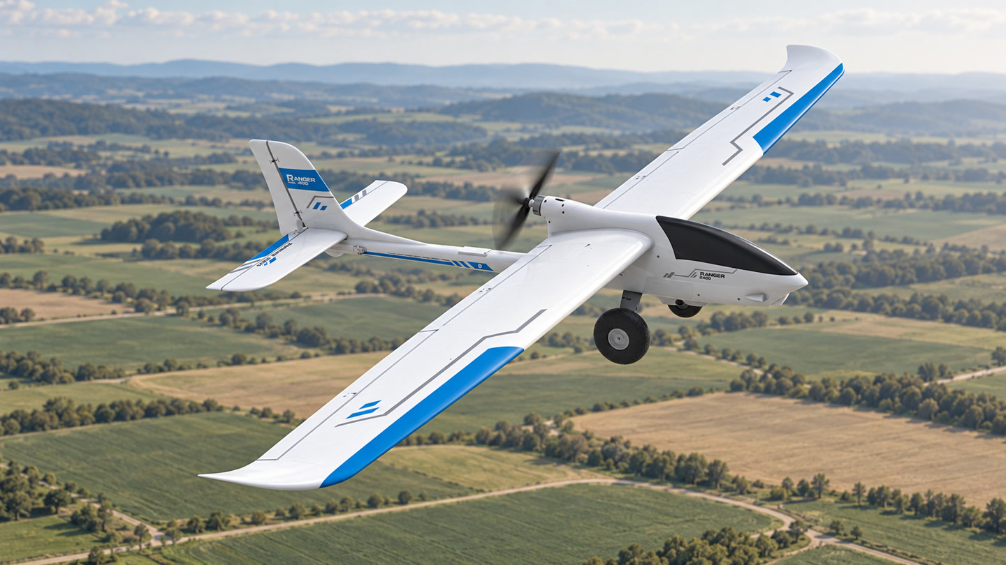
Field data for informed decisions.
Aerial data collection, terrain modelling and visual analysis for agriculture and industry, planned around your project’s accuracy and deliverable requirements.
- Aerial imaging
- Terrain modelling
- Project-specific data delivery